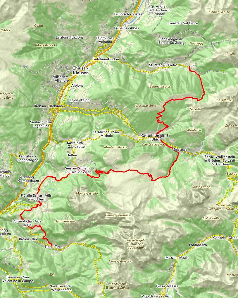
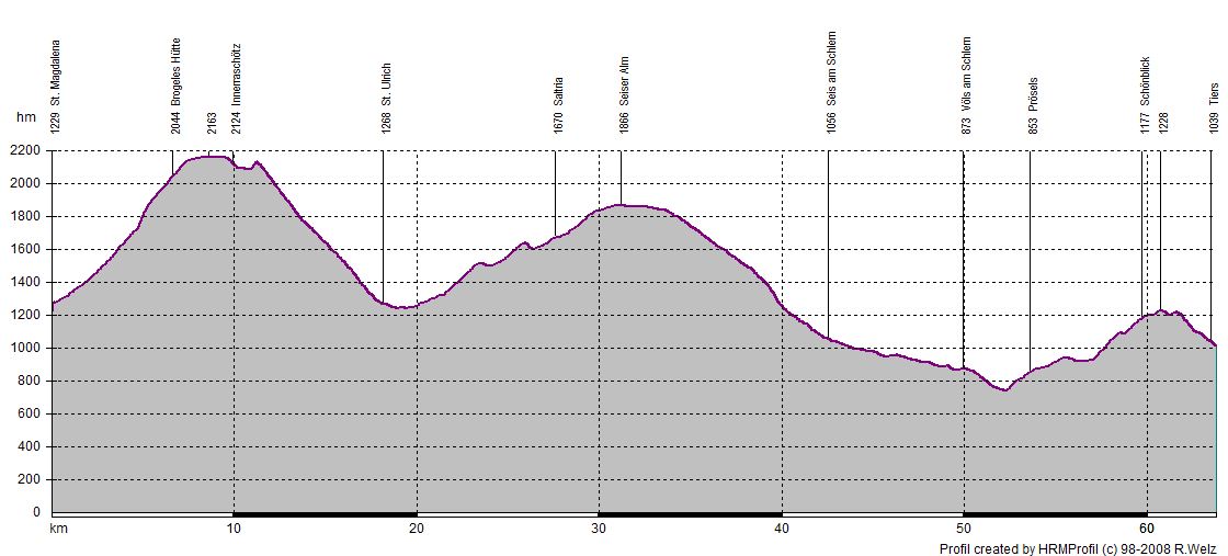
17.07.2014 | Tag 5 | St. Magdalena - Tiers
| Übersichtskarte | Höhenprofil | Download GPX Track |
| Länge: | 63,1 km |
| Uhrzeit: | 08:29 Uhr |
| Fahrzeit: | 11:20 h |
| Höhenmeter: | 2259 hm |
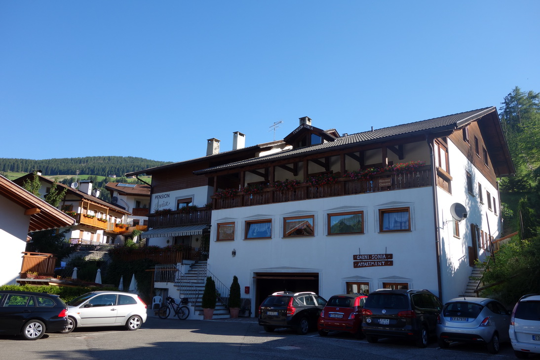 Pension Sonia |
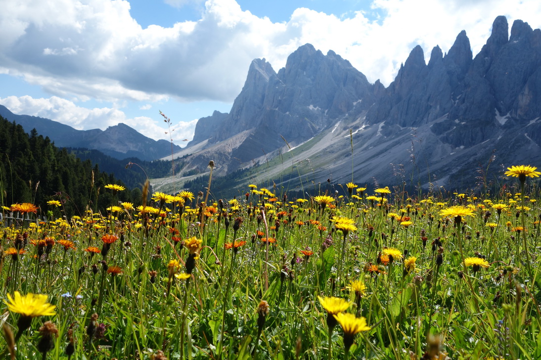
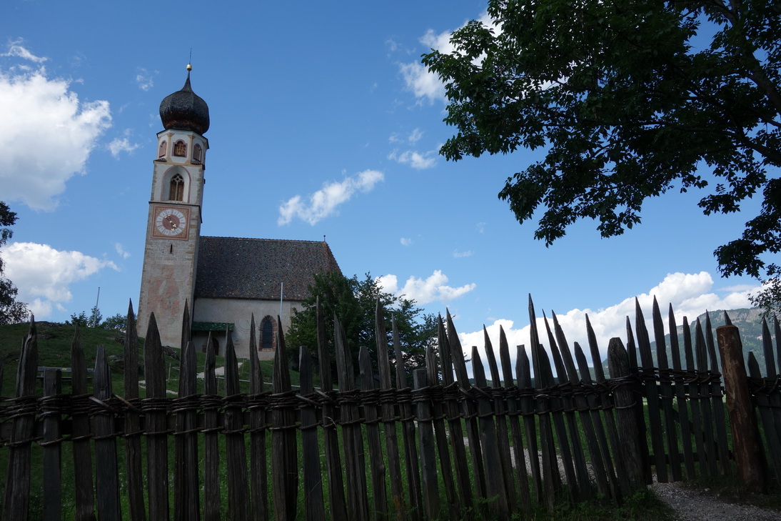
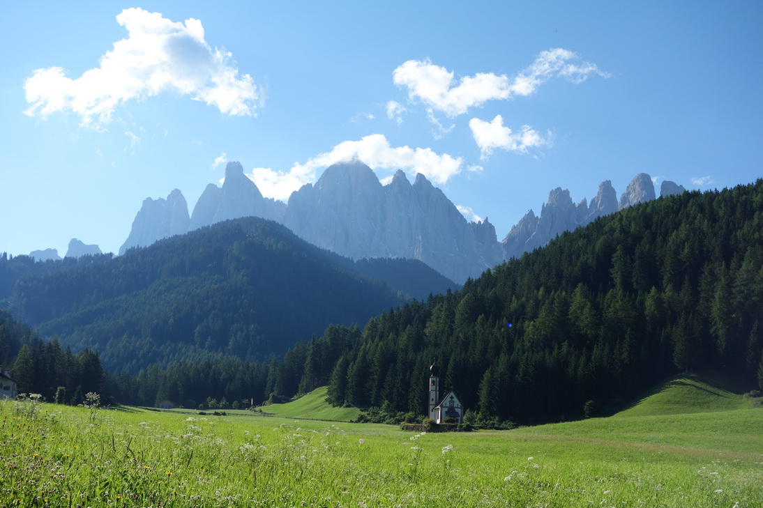 Kirche bei Ranui |
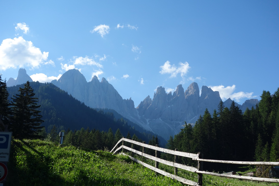 Ranui (N46°38.094 E11°43.640) |
 N46°36.848 E11°44.272 |
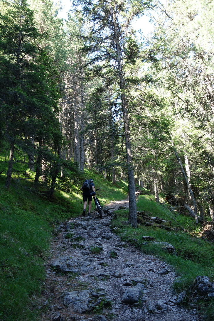
 Man nennt es Biketrail |
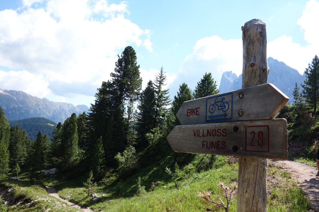
 N46°36.507 E11°43.799 |
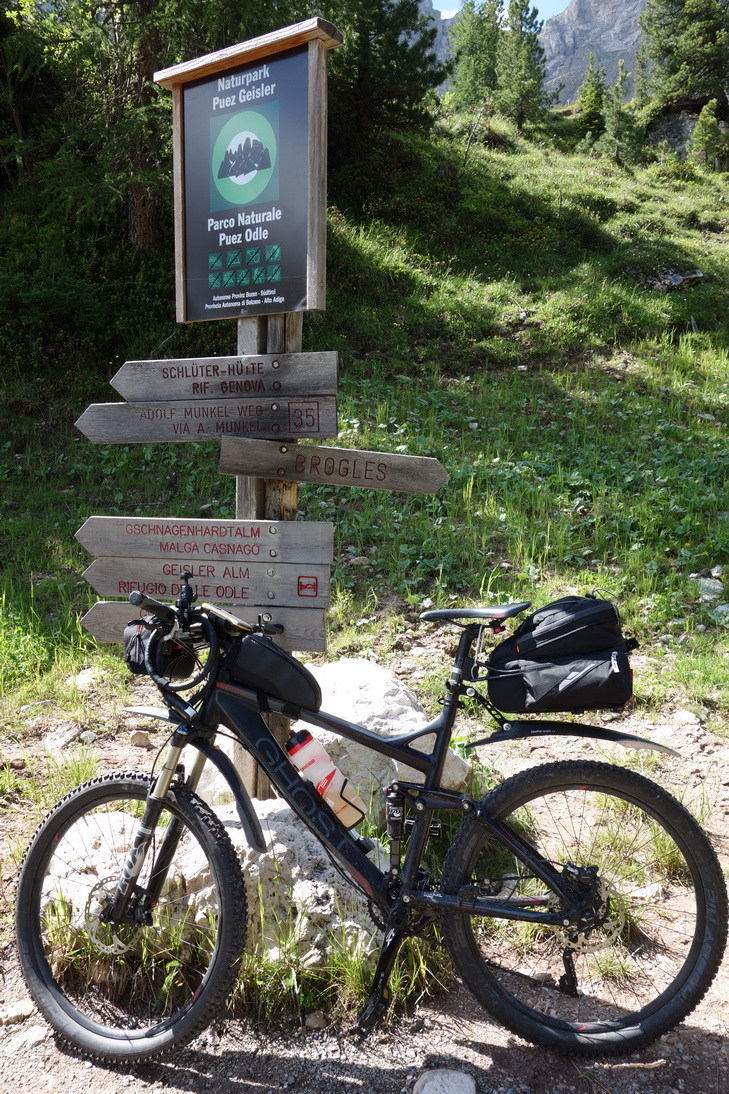
 Brogeles Alm |
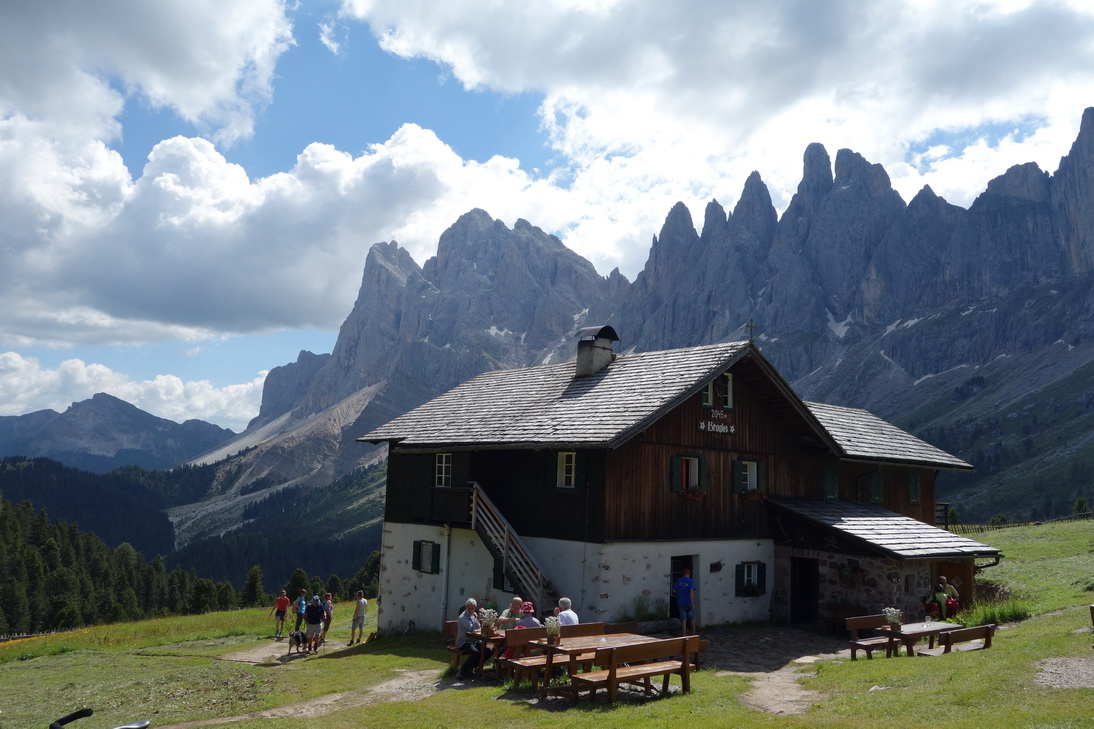 Brogeles Hütte |
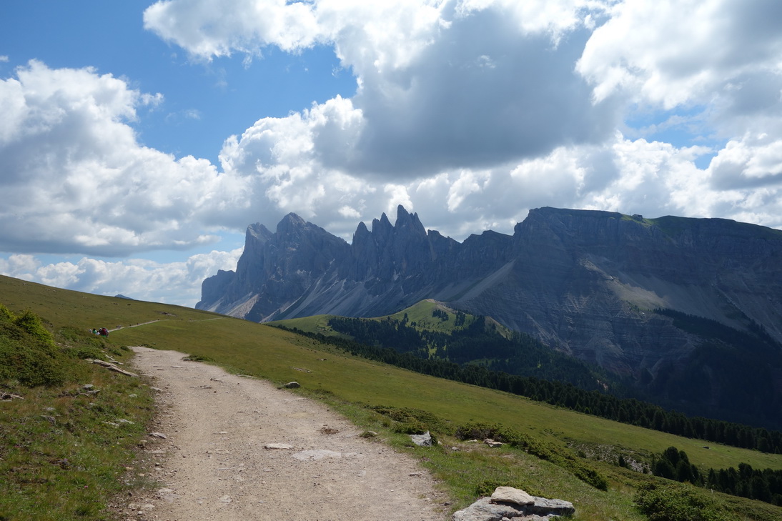 Weg auf dem Raschötz |
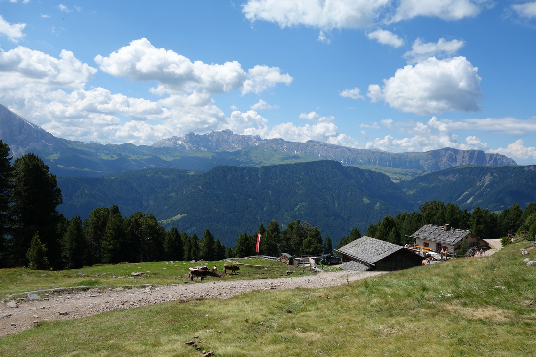 Saltner Schwaige |
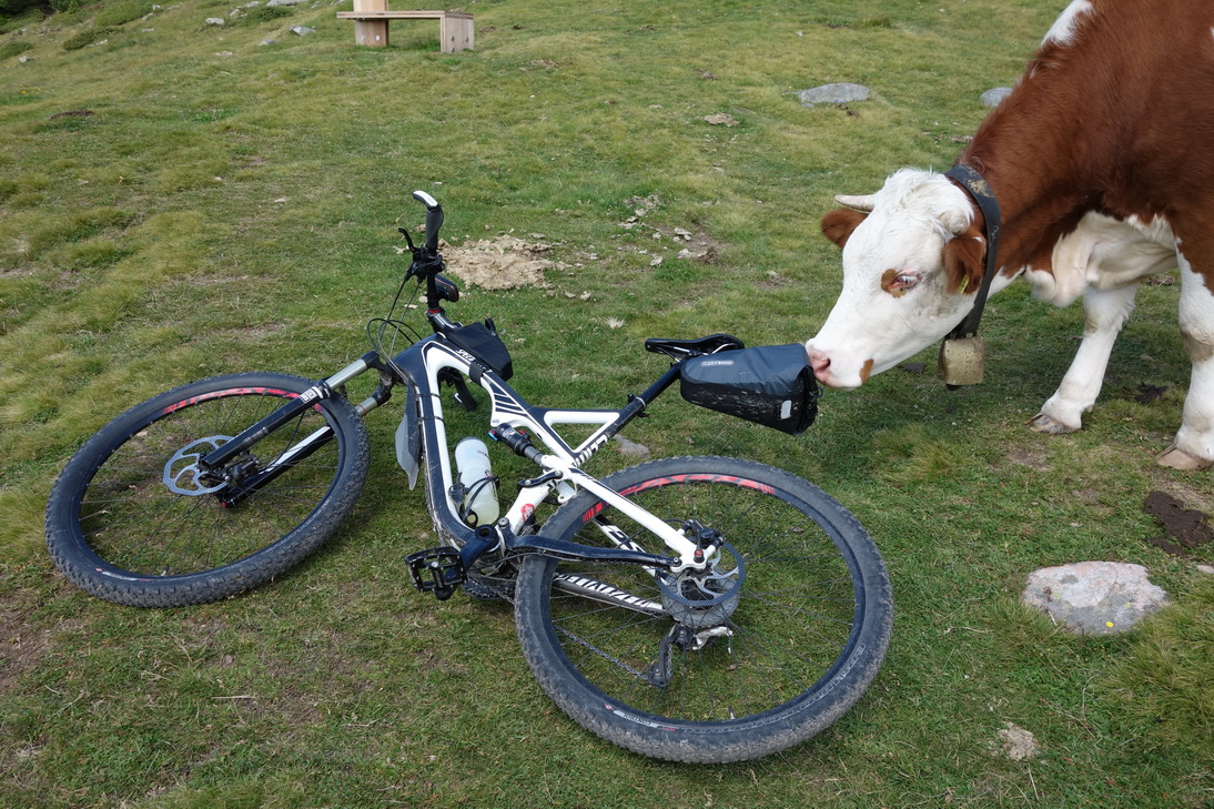 Sattel Kuhleder? Bist du's Erna? |
 N46°34.988 E11°41.254 |
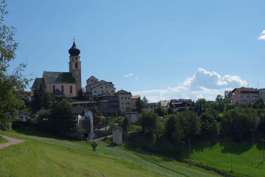
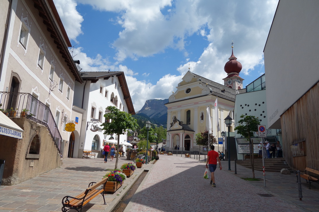 St. Ulrich in Gröden |
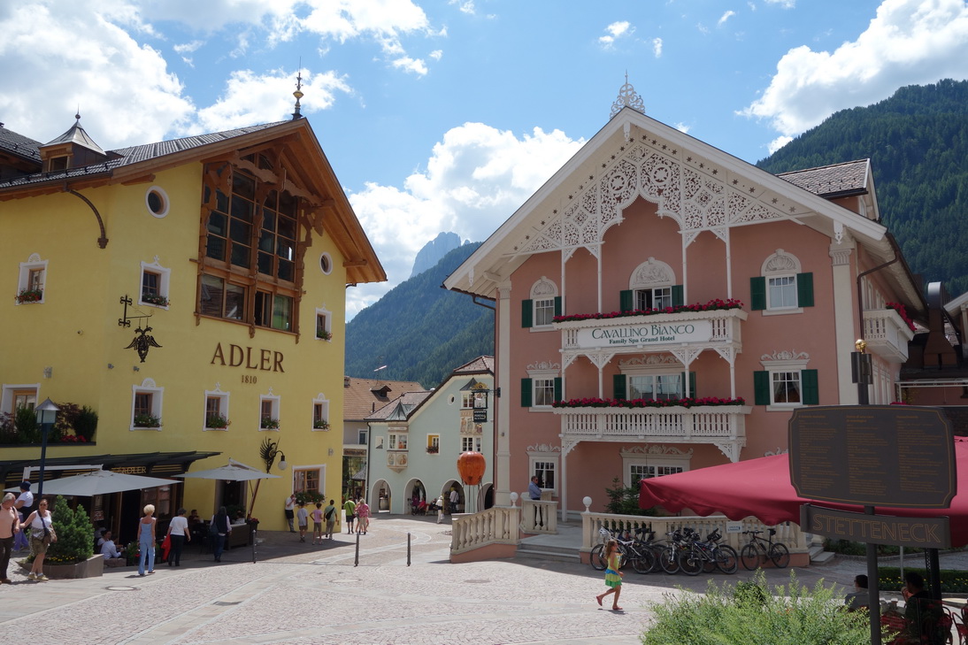 St. Ulrich in Gröden |
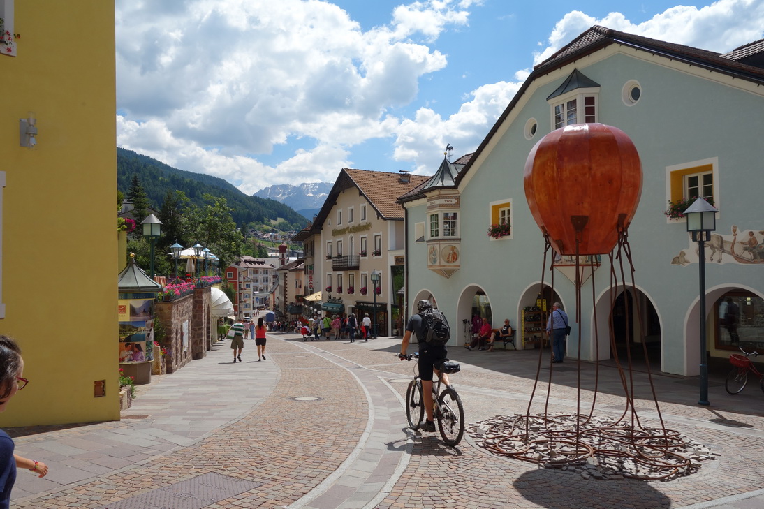 St. Ulrich in Gröden |
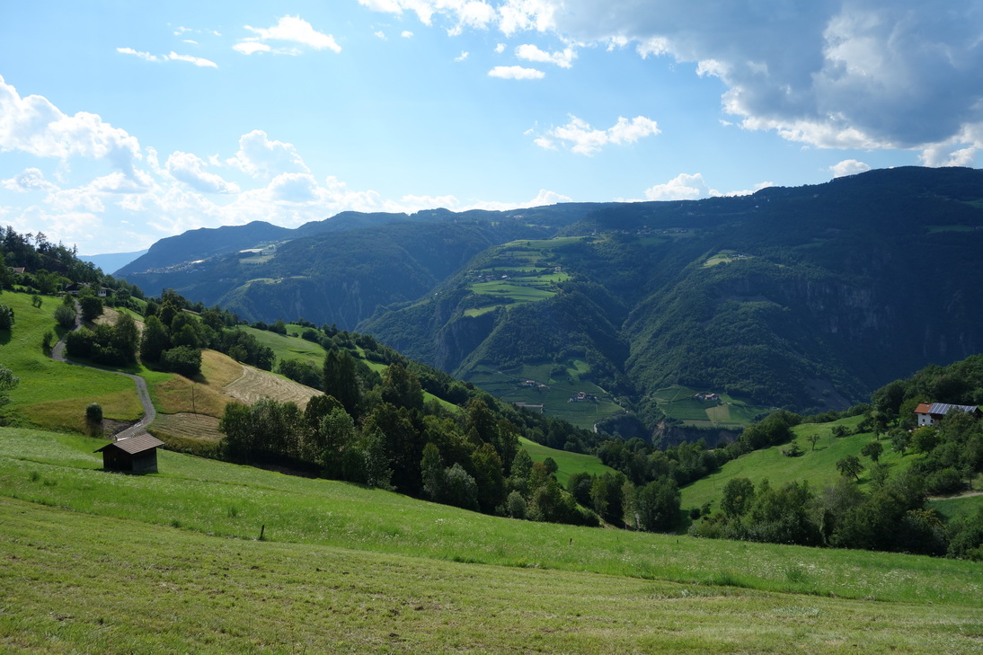
 Blick zurück ins Grödnertal |
 N46°32.808 E11°41.664 |
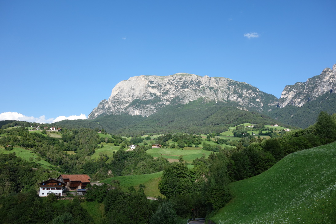
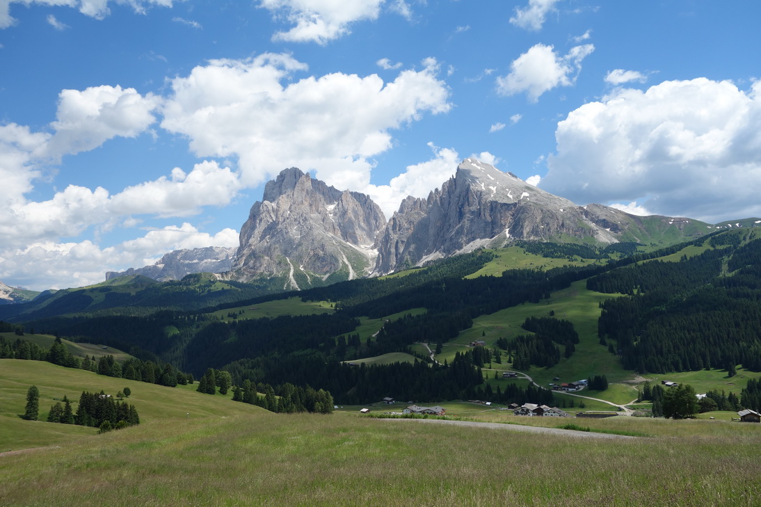 Seiser Alm - Blick zum Langkofel |
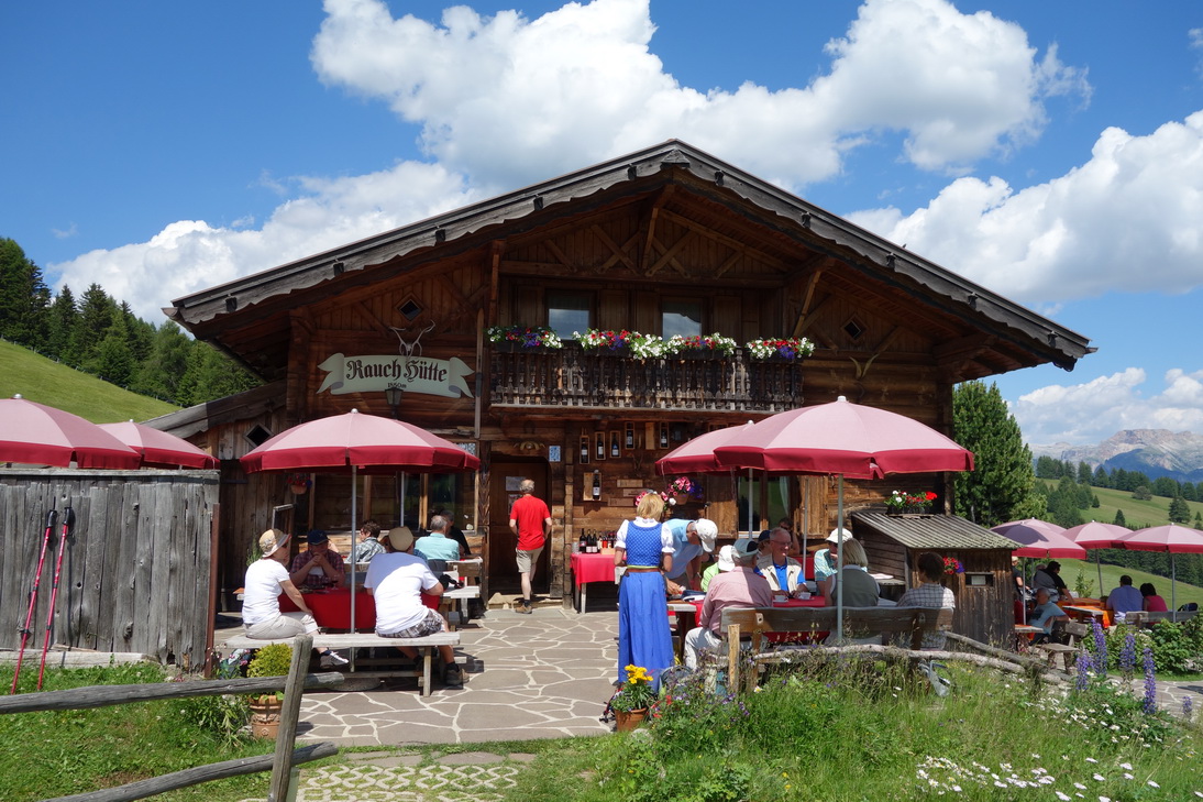 Seiser Alm - Rauch Hütte |
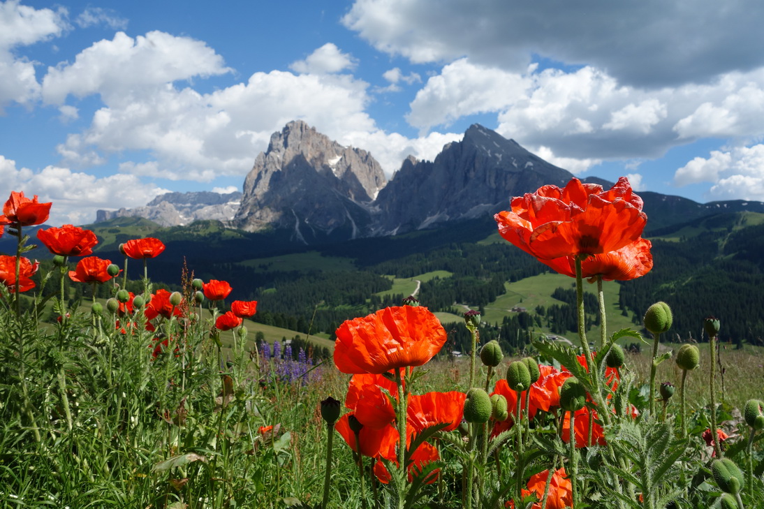 Seiser Alm - Blick zum Langkofel |
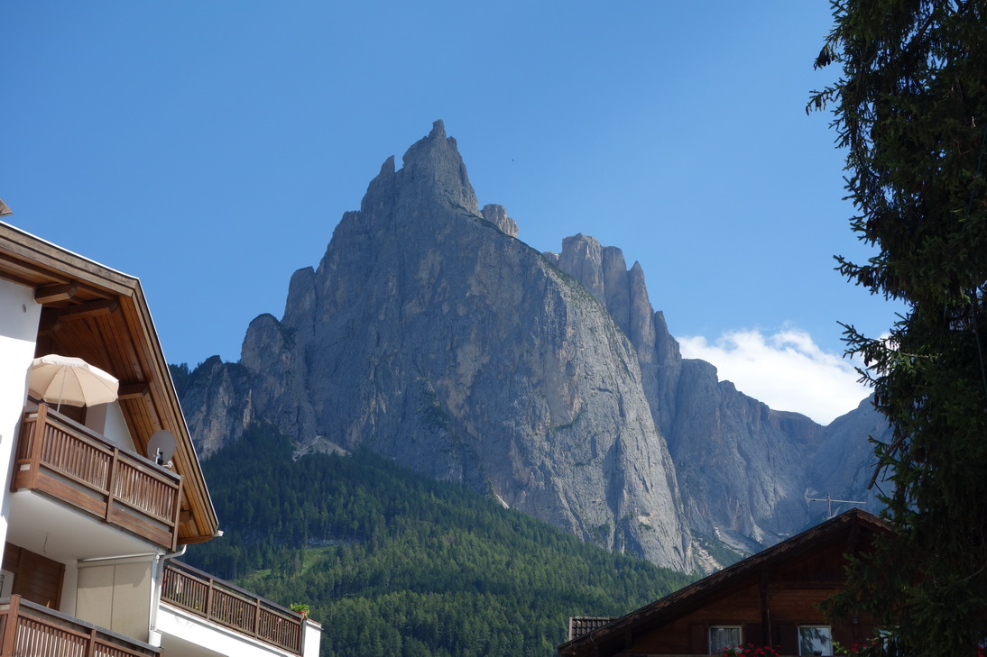 Seis - Blick zum Monte Castello |
 N46° 32.521' E11° 36.535' |
 Kirche bei San Constantino |
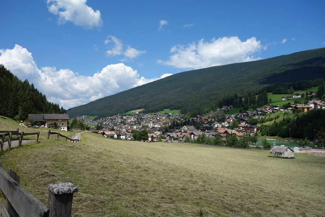
 Völs am Schlern |
 N46° 30.435' E11° 30.212' |
 N46° 30.435' E11° 30.212' |
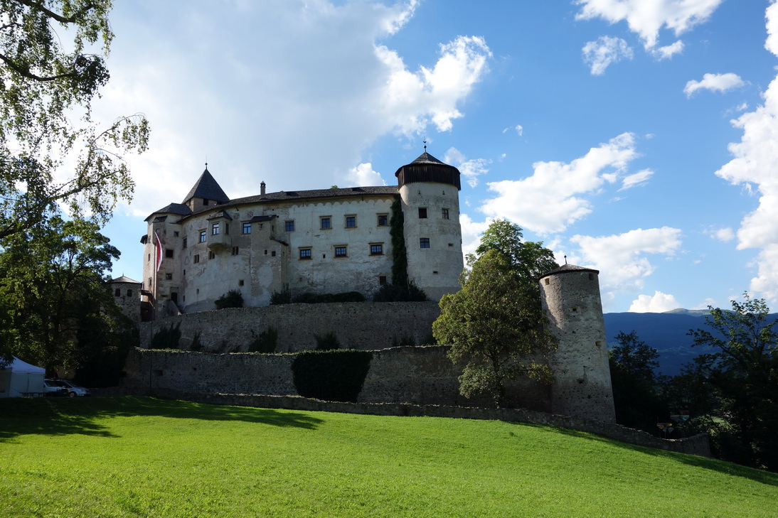 Schloss Prösels |
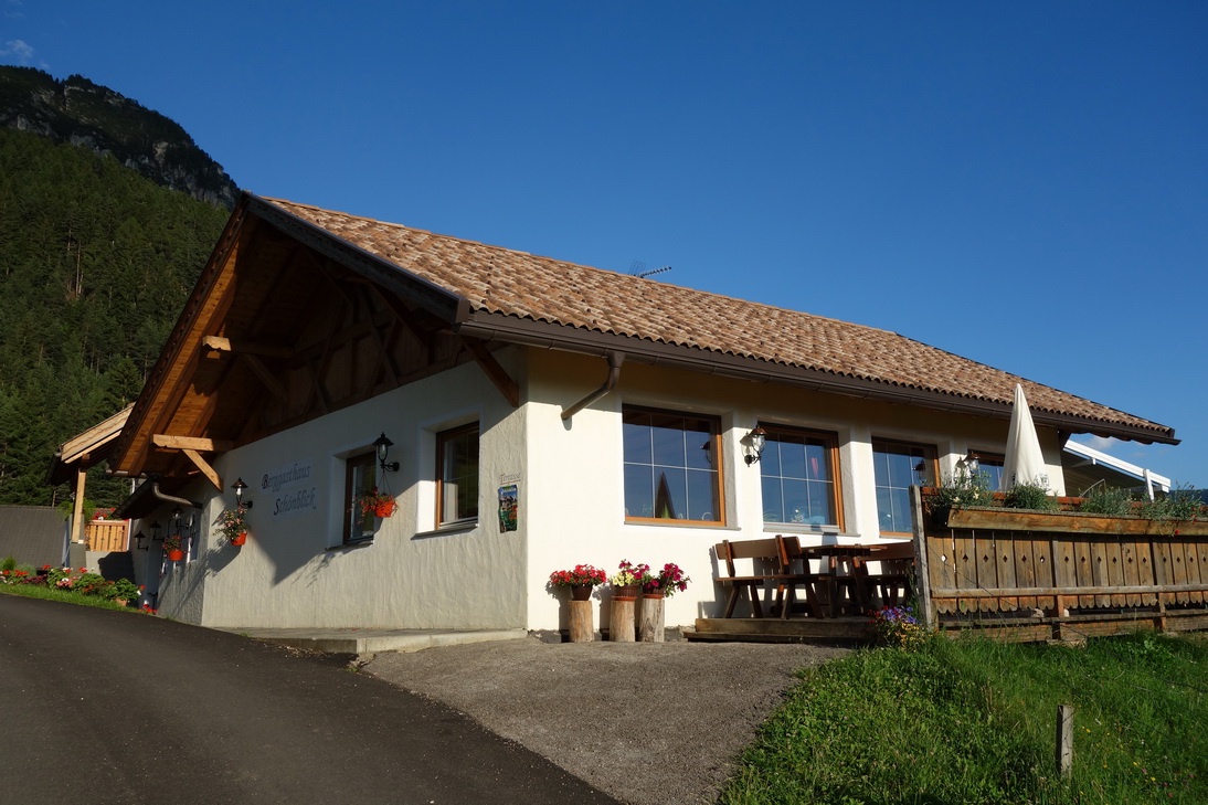 Gasthaus Schönblick |
 Blick vom Gasthaus Schönblick |
 Die Königsetappe geht zu Ende |
| <-- Tag 4 | Startseite Alpencross | Tag 6 --> |
Impressum - © 2015 - Frank Helms - kikambala.org (letzte Aktualisierung: 23.05.2015)