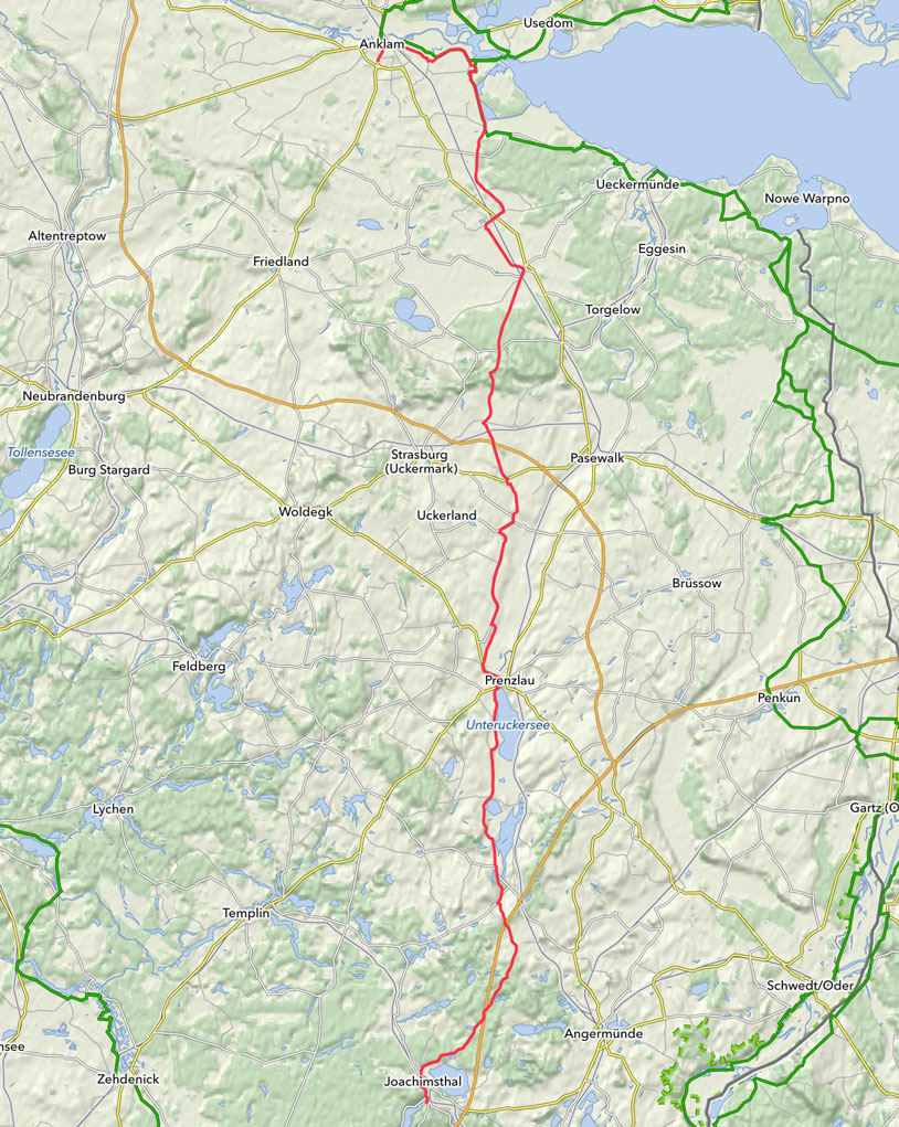
27.05.2014 | Tag 4 | Joachimsthal am Werbellinsee - Anklam
| Übersichtskarte | Download GPX Track |
| Länge: | 133,0 km |
| Fahrzeit: | 10:15 h |
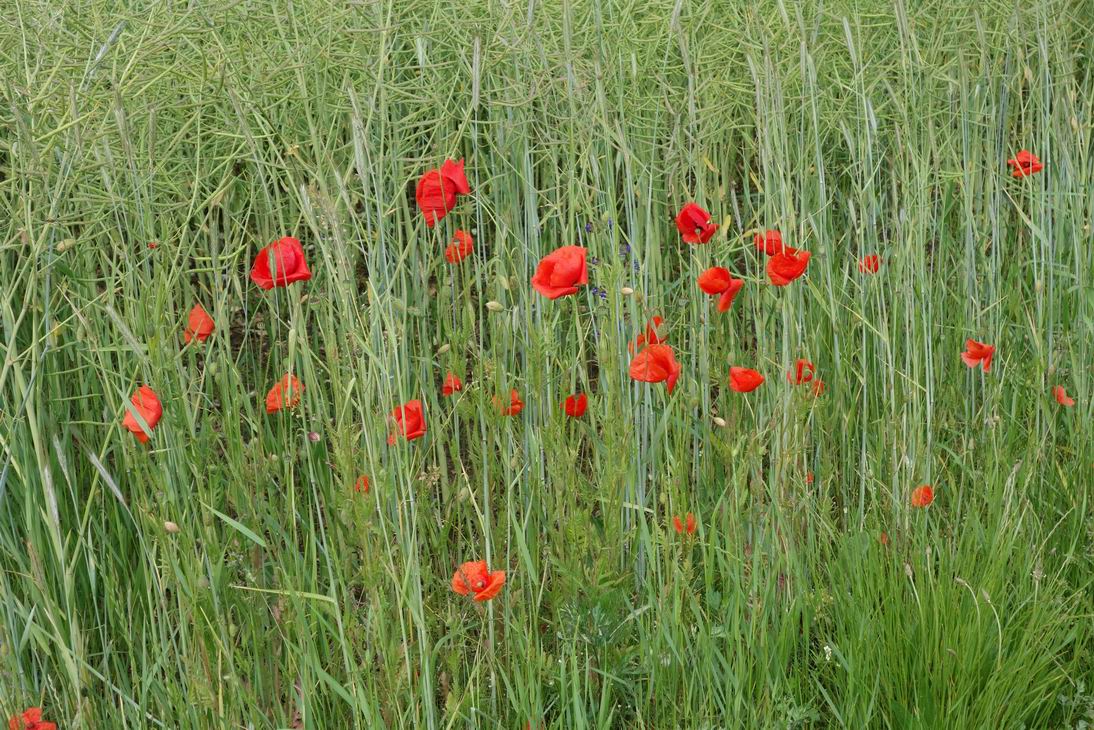
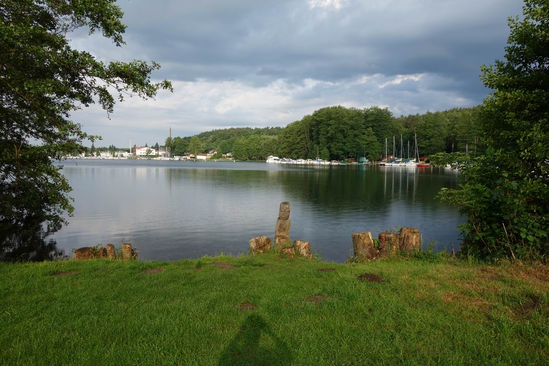 Werbellinsee bei Joachimsthal |
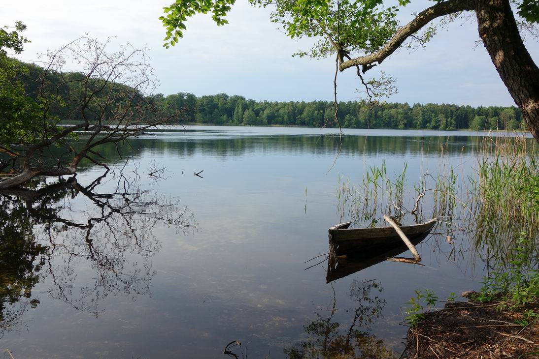 Morgenstimmung am Dovinsee |
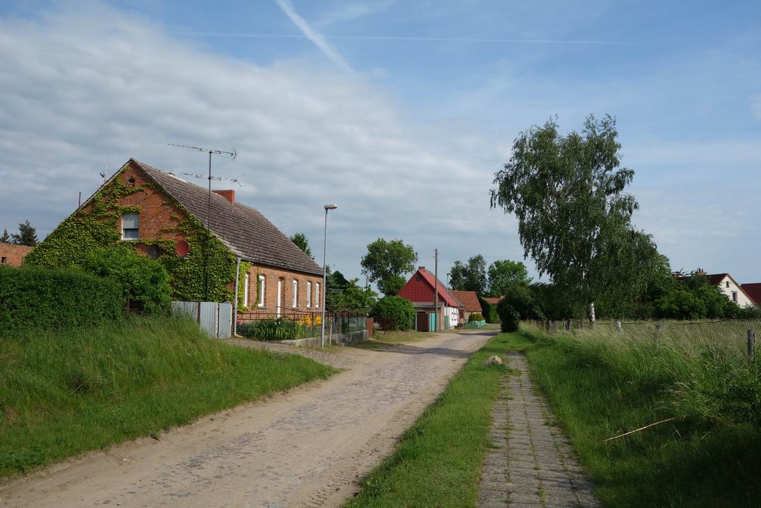
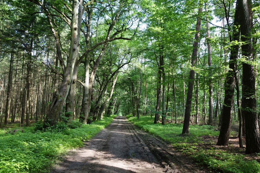
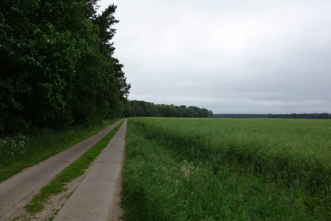
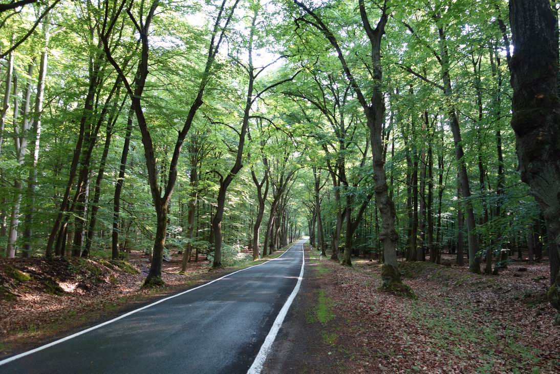 Strasse bei N53 00.087 E13 47.447 |
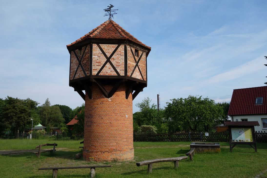 Taubenturm in Glambeck |
 Steinhöfel (N53 05.507 E13 52.546) |
 N53 05.690 E13 52.225 |
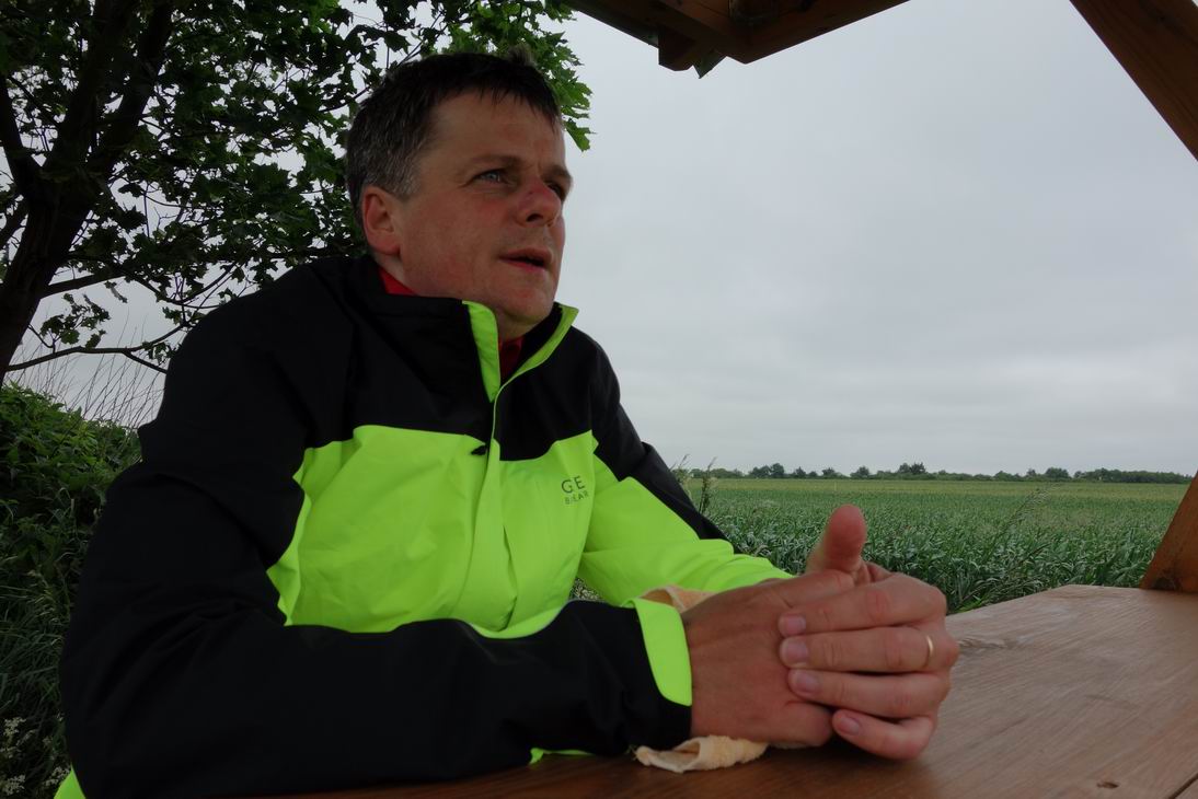
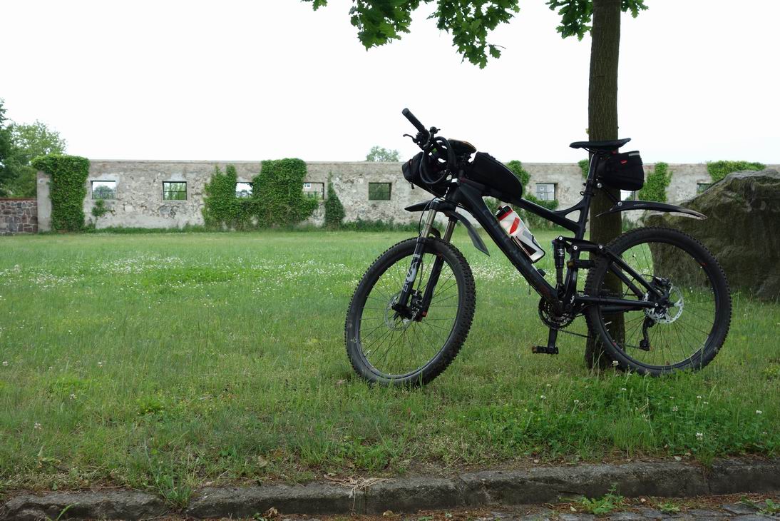
 Selfialarm bei N53 06.232 E13 51.998 |
 N53 08.121 E13 51.302 |
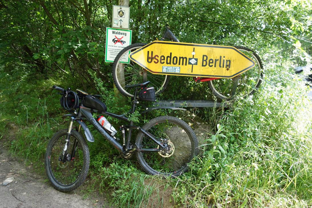
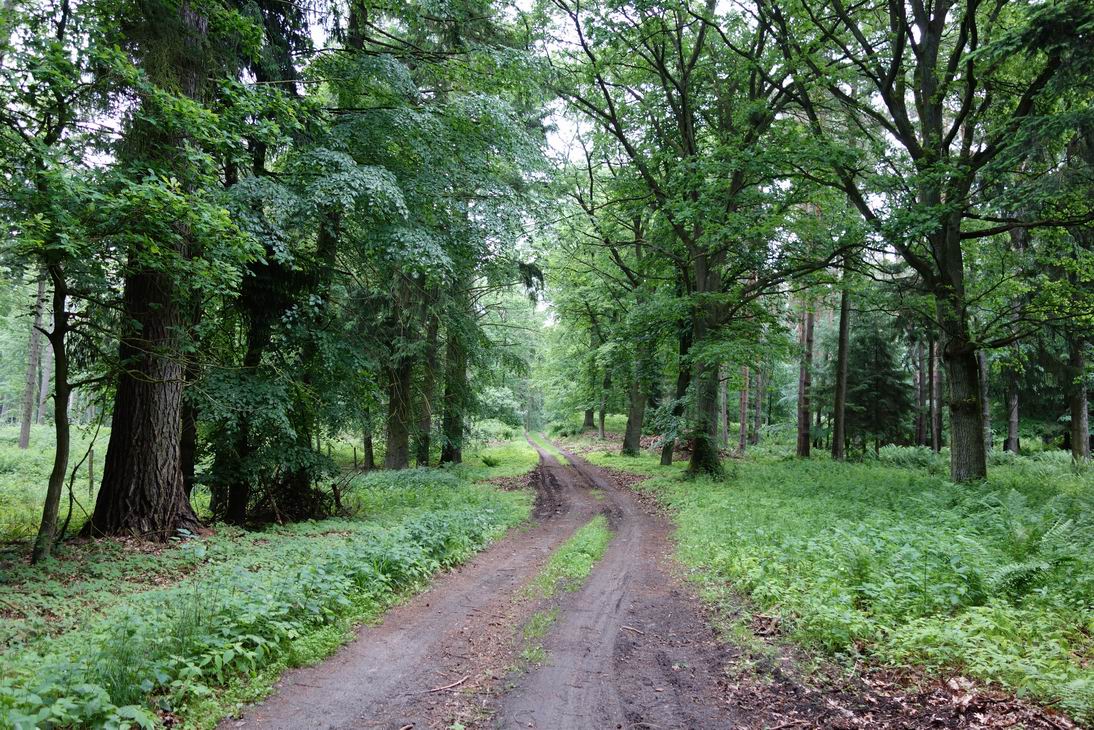
 Traumpfade (N53 08.802 E13 51.008) |
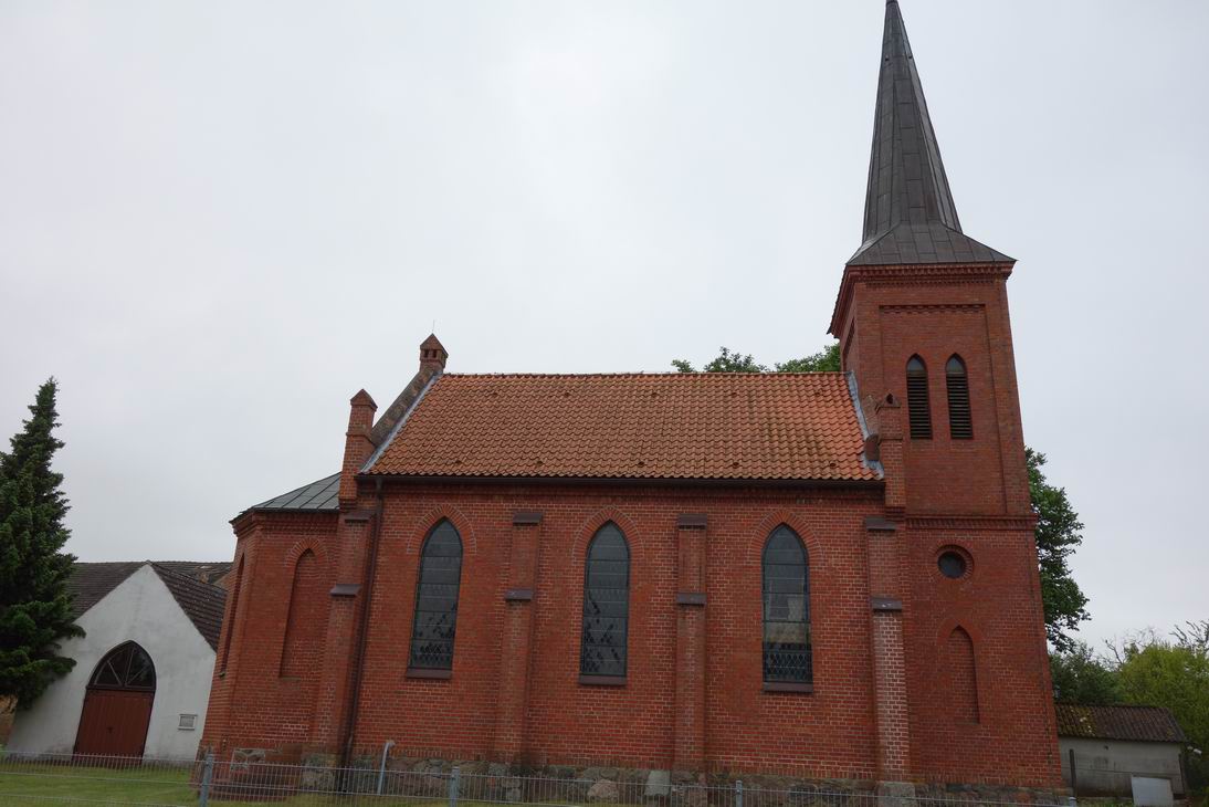
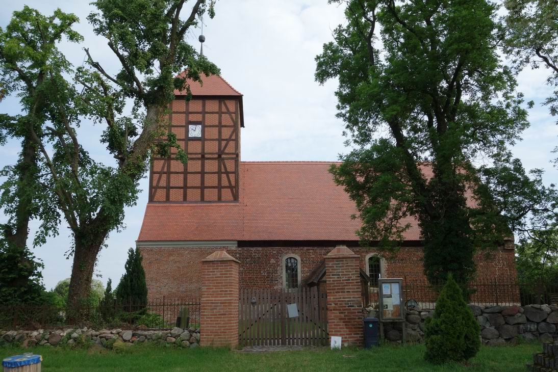 Kirche in Fergitz |
 Fergitz (N53 10.924 E13 50.620) |
 N53 11.015 E13 50.268 |
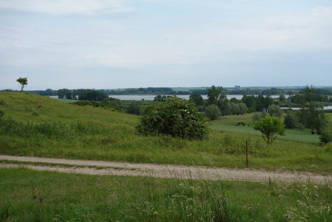 Drei-Seen-Blick |
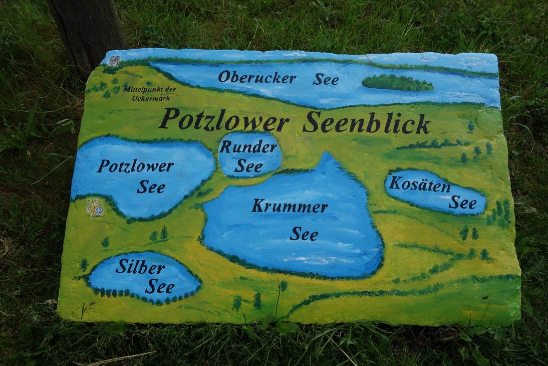 Pötzlower Seenblick |
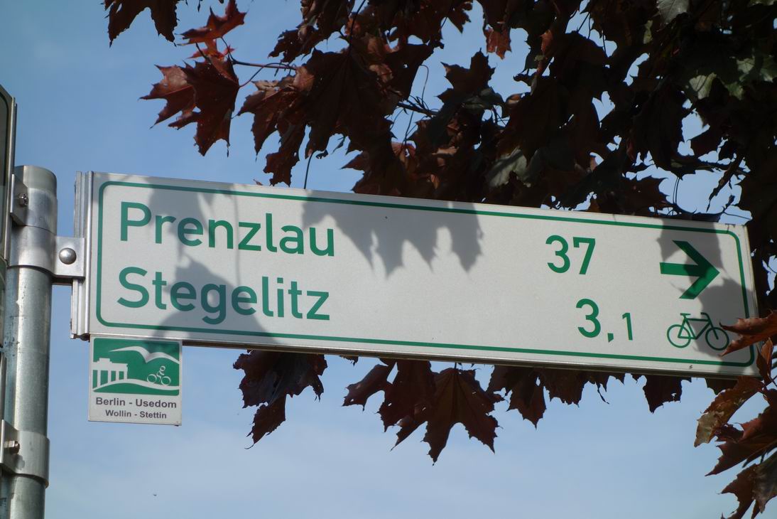
 Zollchow (N53 15.645 E13 50.878) |
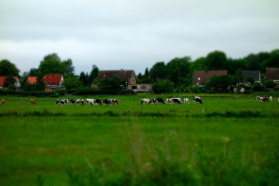
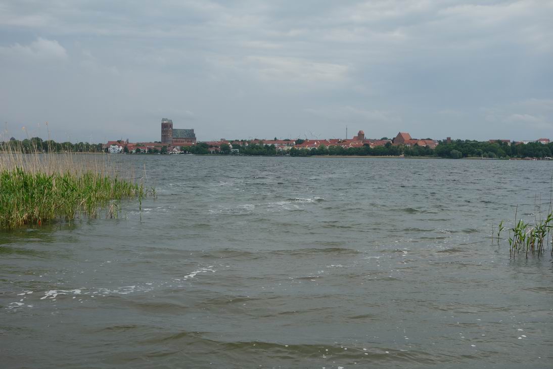 Unteruckersee mit Blick auf Prenzlau |
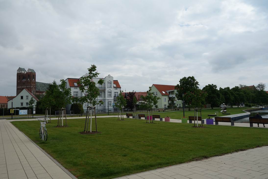 Prenzlau Promenade |
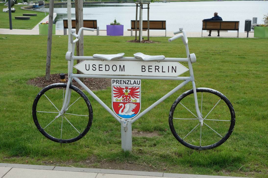 Prenzlau |
 N53 23.135 E13 50.684 |
 Windschutz bei N53 28.194 E13 52.532 |
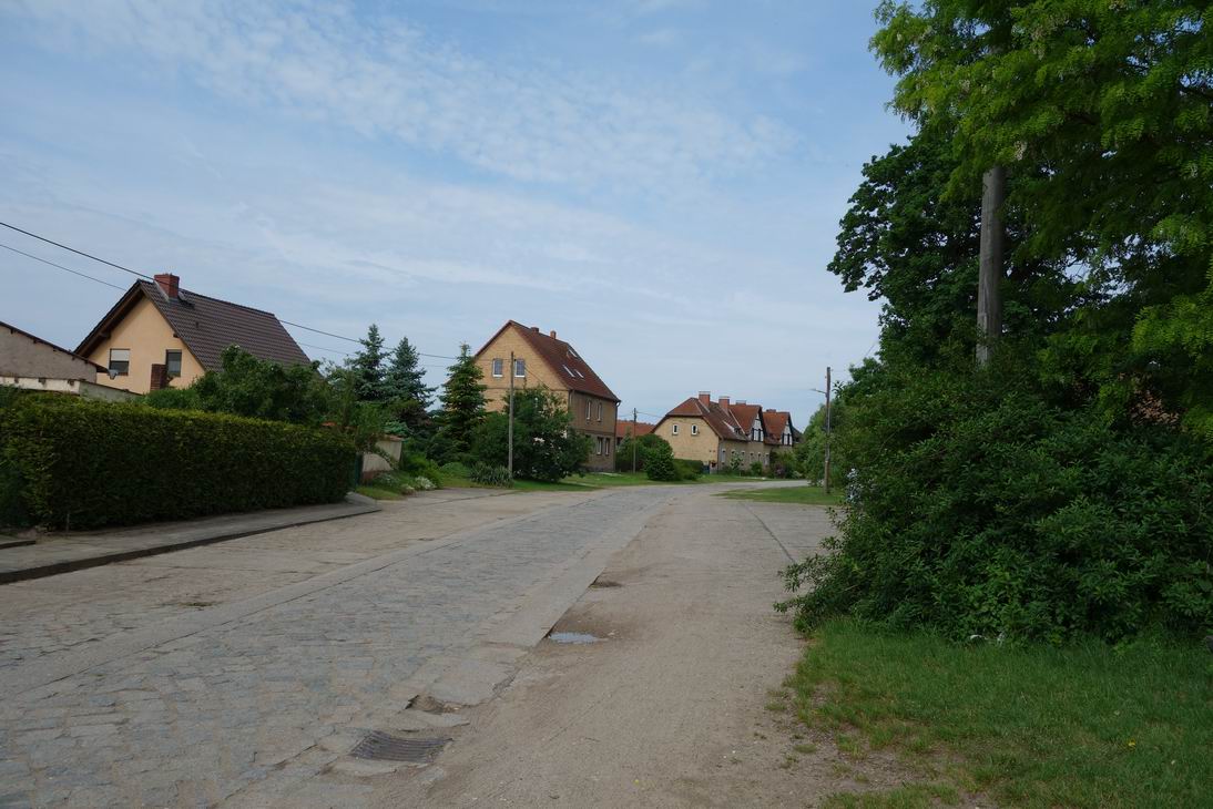
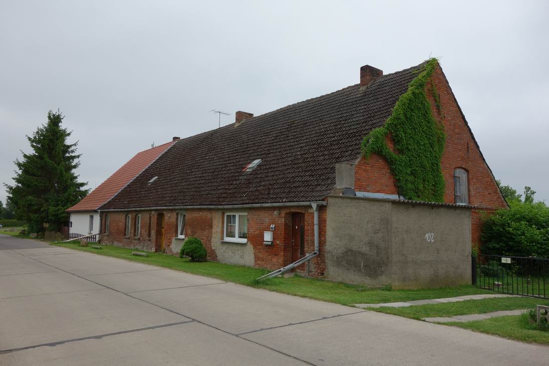 Gross Luckow |
 Gross Luckow |
 Geburtsort von Max Schmeling |
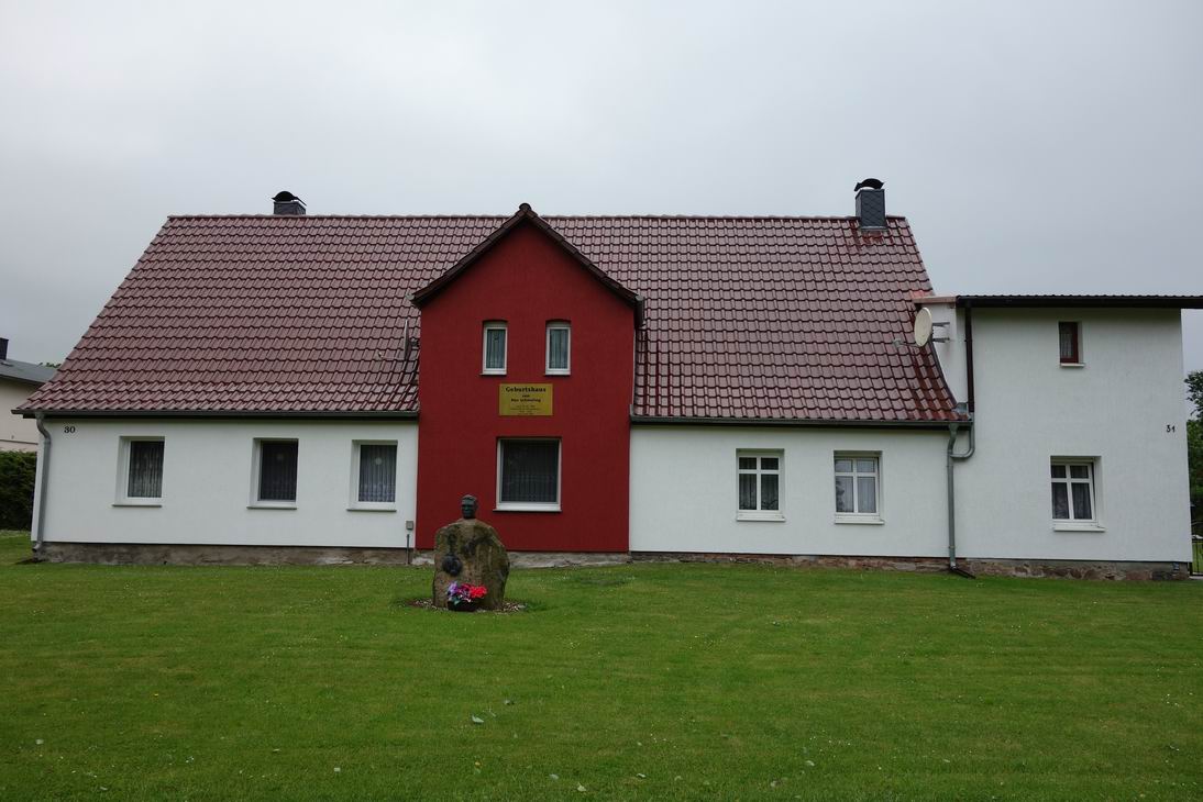 Geburtshaus von Max Schmeling |
 N53 33.985 E13 50.577 |
 N53 34.749 E13 50.754 |
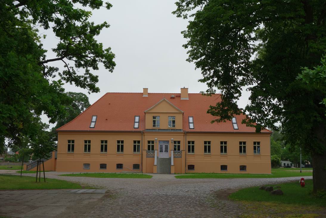 Gutshaus Ferdinandshof |
 Gut Ferdinandshof |
 Blick nach Altwigshagen |
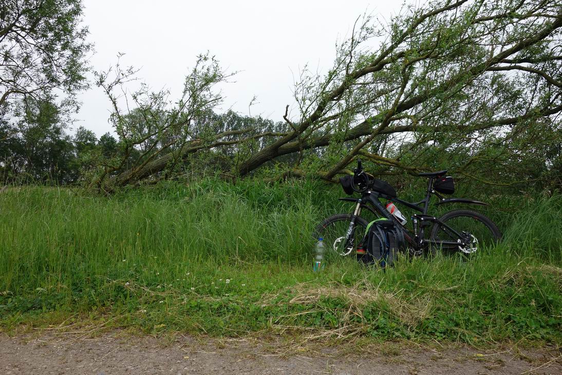 Windgeschützter Rastplatz |
 N53 42.867 E13 51.530 |
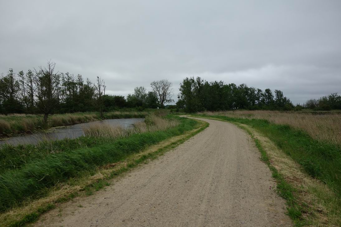
 Weg bei N53 43.179 E13 51.274 |
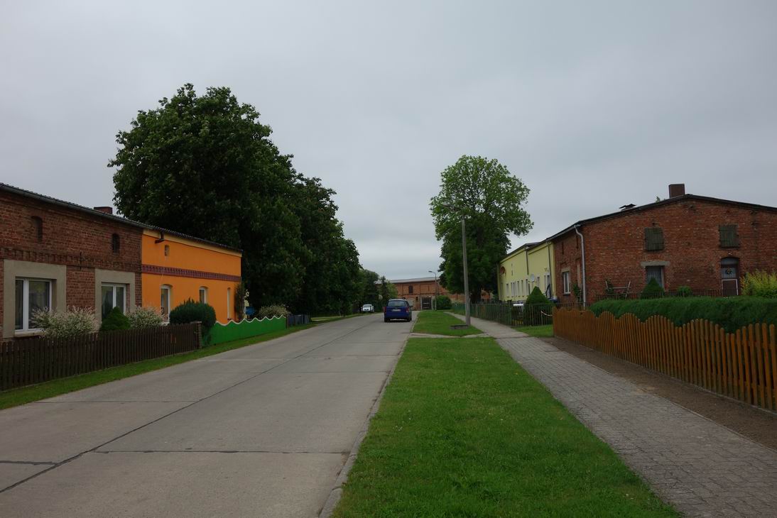
 Neuendorf A |
 Rundweg Stettiner Haff |
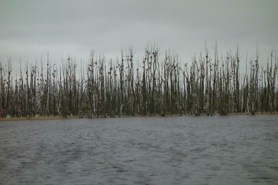 Komorankolonie auf Baumleichen |
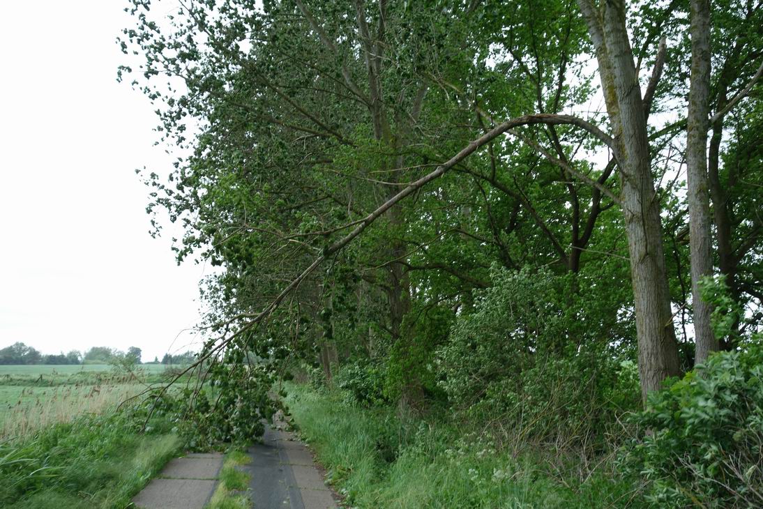 Windbruch vor Anklam |
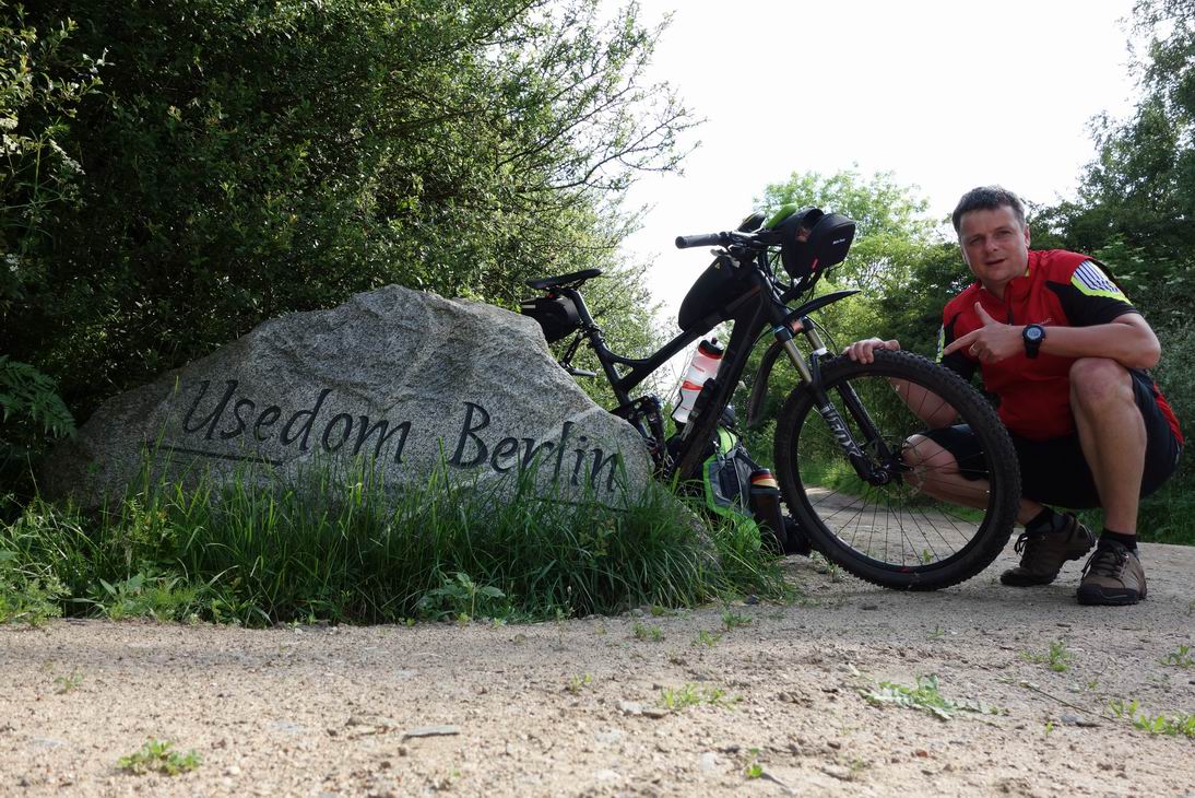
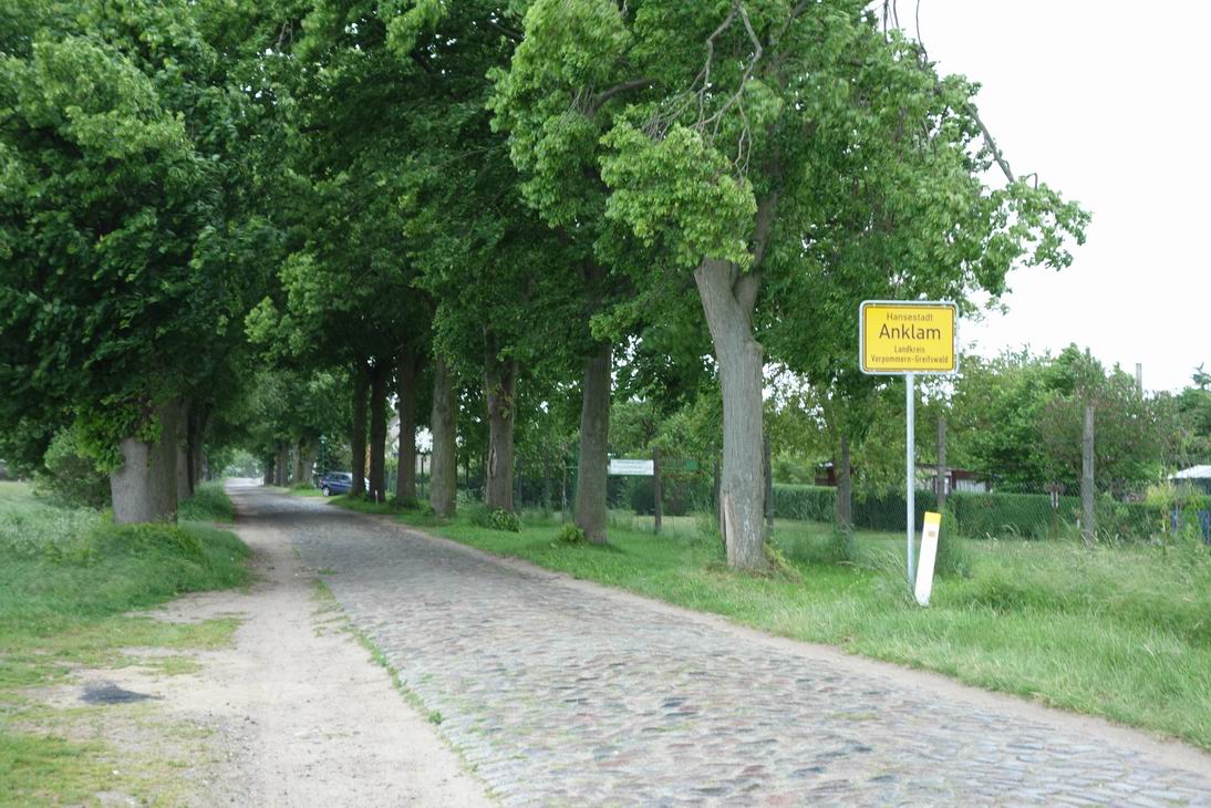 Ziel der Königsetappe: Anklam |
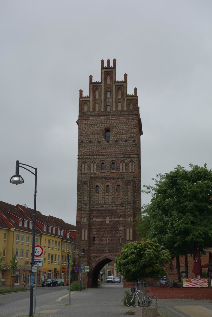 Backsteingotik Stadttor Anklam |
| <-- Tag 3 | Startseite Rügentour | Tag 5 --> |
Impressum - © 2015 - Frank Helms - kikambala.org (letzte Aktualisierung: 23.05.2015)